Spain
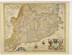
Location: 1628
Published: Amsterdam, 1628
Size: 385 x 484mm.
Color: In original colours.
Condition: A good and strong impression. Paper slightly age-toned, as usual. Altogether in very good condition.
Map of Catalonia. The map is highly detailed, identifying cities, rivers, mountains, castles, ports and other features. Two ..
700€
Location: 1636
Published: Amsterdam, after 1636
Size: 375 x 485mm.
Color: In original colours.
Condition: Very good condition. No text on verso.
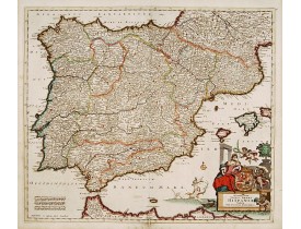
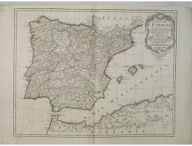
Decorative map of Spain. Decorate by a fine title cartouche. No text on verso. From a French composite atlas.Read more about ..
600€
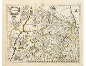
Location: 1636
Published: Amsterdam, after 1636
Size: 382 x 487mm.
Color: Original colours.
Condition: Paper very slightly age-toned. Wide margins. Good and dark impression. No text on verso.
Decorative map of the region which includes the city of Pamplona at the centre of the map, Bayonne and San Sebastian. Highly ..
300€
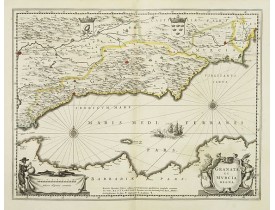
Location: 1637
Published: Amsterdam, 1637
Size: 379 x 494mm.
Color: In original o/l colours.
Condition: In good condition. Paper very slightly age-toned. With Latin text on verso.
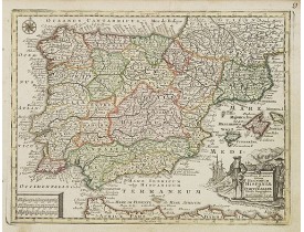
A fine copy decorated with the Arms of both States and the figure of a surveyor. Extending from the Straits of Gibraltar to A..
300€
Location: 1637
Published: Amsterdam, 1637
Size: 439 x 550mm.
Color: In original o/l colours.
Condition: Short margins, due to large size of the map. Lower margin cut into scale border. Good and dark impression. Latin text on verso.
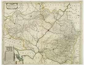
Shows cities of Saragossa and Pamplona. Dedication to a list of worthies, deputies of the king in Aragon by Henricus Hondius...
300€
Location: 1637
Published: Amsterdam, 1637
Size: 377 x 484mm.
Color: In original o/l colours.
Condition: Printed on heavy paper. Very good condition. Latin text on verso.
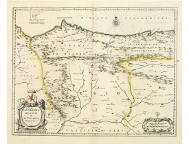
Decorative map of the Spanish Province Asturias, Castile and Léon, including the towns of Oviedo, Leòn, Santander, Valladolid..
500€
Location: 1644
Published: Amsterdam, 1644
Size: 380 x 490mm.
Color: In original colours.
Condition: Dark impression, printed on heavy paper. Some paper creasing along center fold. French text on verso.
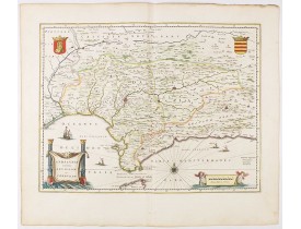
Features the province of Andalucia and the city of Seville, but also depicts the Straights of Gibraltar, know in classical ti..
0€
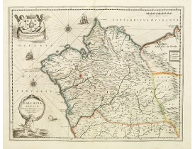
Location: 1644
Published: Amsterdam, 1644
Size: 380 x 497mm.
Color: In original colours.
Condition: Paper very slightly age toned. Generally in very good condition. French text to verso.
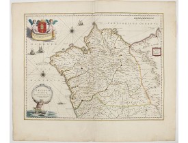
A beautiful map of Galicia in north western Spain, decorated with finely engraved wind roses, sailing boats, a triton [suppor..
0€
Location: 1645
Published: Amsterdam, 1645
Size: 379 x 4892mm.
Color: Coloured.
Condition: Paper slightly age-toned. Margins cut on neat line. No text on verso.
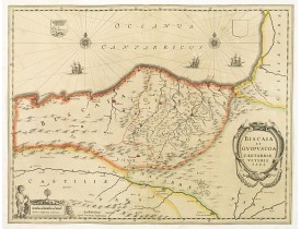
¤ A nice example of Janssonius map of region centered on Bilbao and extending from S. Andero to Calgurris and Baiona. Shows c..
400€
Location: 1680
Published: Paris, ca. 1680
Size: 108 x 153mm.
Color: Uncoloured.
Condition: Good and dark impression. Water stain extending to the whole engraving.
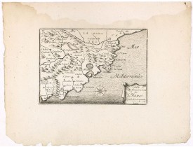
Decorative print of the area around Blanes, in Catalonia. Engraved by Pérelle. Embellished with a compass rose...
80€
Location: 1690
Published: Amsterdam, 1690
Size: 378 x 487mm.
Color: In attractive original colours.
Condition: In mint condition, wide margins.
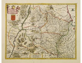
Centred on Pamplona. Orientated west to the top...
350€
Location: 1696
Published: Venice, 1696
Size: 605 x 895mm.
Color: Uncoloured.
Condition: If joined Very strong impression. Some very light marginal spotting. A tear in center fold left hand sheet underlaid. In very good condition.
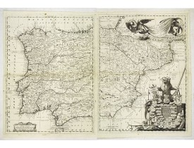
A scarce and very attractive double sheet detailed map of Spain and Portugal. This map appeared in the "Atlante Veneto", Coro..
1,200€
Location: 1700
Published: Amsterdam, 1700
Size: 490 x 574mm.
Color: In attractive original colours.
Condition: A good and dark impression. Printed on heavy paper. Repair of split lower part centerfold, 5cm into engraved area. Good condition.
Rare issue of Justus Danckert's attractive map of part of Spain and Portugal. Decorative title cartouche lower right hand cor..
800€
Location: 1710
Published: Amsterdam, 1710
Size: 492 x 582mm.
Color: In original colours.
Condition: Paper slightly age-toned. Printed on heavy paper. In very good condition.
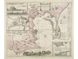
Decorative map showing the siege of Gibraltar during the Spanish war of succession. This highly interesting map is richly orn..
1,000€
Location: 1726
Published: Marseille, 1715-1726
Size: 470 x 690mm.
Color: Uncoloured.
Condition: Staining. A few small worm tracing in lower part chart. A dark impression.
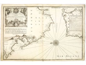
The chart covers Cadiz and the Strait of Gibraltar. Includes San Lucar de Barameda, Rota, Cape Trafalgar, Ceuta, Tangiers, Ta..
750€
Location: 1728
Published: Amsterdam, 1728
Size: 335 x 436 mm.
Color: Uncoloured.
Condition: A good and dark impression.
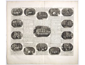
CHATELAIN, H. - Carte du Gouvernement Civil et Politique de l'Espagne . . . - 38858 - Spain - CHATELAIN, H. - Carte du Gouve..
120€
Location: 1730
Published: Paris, 1690-1730
Size: 193 x 313mm.
Color: Uncoloured.
Condition: Good condition.
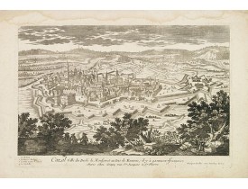
A rare panoramic town-view of Casale Monferrato in the Piedmont region. Engraved by Pierre Aveline (Paris, c.1656 - 23 May 1..
100€
Location: 1742
Published: Amsterdam/ Deventer, 1742
Size: 180 x 220mm.
Color: In original colours.
Condition: Vertical folds as issued. Minor marginal darkening along folds. Very fine image.
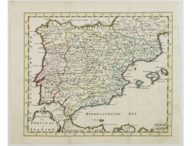
Attractive and uncommon map of Spain and Portugal. From Atlas Portatif . RARE...
150€
Location: 1778
Published: Augsburg, J.M.Will, 1778
Size: 195 x 260mm.
Color: Original colours.
Condition: Paper slightly age-toned, and with mainly marginal spotting. Good impression.
Miniature map of Spain and Portugal, a reduction of the Seutter's folio map.From Atlas Minor, here published by Johann Martin..
200€
Location: 1783
Published: Paris, 1783
Size: 205 x 258mm.
Color: In original o/l colours.
Condition: Good and dark impression, printed on strong paper. Some minor marginal discolouration, not affecting printed area. Very good condition.
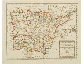
Rare map of Spain and Portugal prepared by J.B.Nolin and published by Monhare for his Atlas Général a l'usage des colleges et..
120€
Location: 1789
Published: Paris, 1789
Size: 470 x 600mm.
Color: In original o/l colours.
Condition: Light water stain on lower left portion of engraved area.Two spots on the left and right portion of engraved area. Else a good and dark impression.
Map of Spain at the time of the French Revolution. Taken from the Atlas Géographique.. published by Dezauche, as successors t..
150€
Location: 1822
Published: Paris, 1822
Size: 163 x 210mm.
Color: In original colours.
Condition: In good condition.
Uncommon lithographed map of Spain and Portugal taken from " Atlas Géographique. Géographie moderne actuelle. Pour l'usage de..
0€
Location: 1827
Published: Paris, 1827
Size: 470 x 590mm.
Color: In original o/l colours.
Condition: In very good condition. Printed on heavy paper.
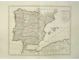
Map of Spain and Portugal, including the North African coast and good detail for Majorca, Minorca and Ibiza. Published by Dez..
150€
Location: 1880
Published: Paris, ca.1880
Size: 420 x 580mm.
Color: In attactive original colours.
Condition: Aquatinte en coloris d'époque. Légère décoloration dans le ciel, 6 trous d'épingle au pourtour de la gravure. Bel exemplaire dans un coloris très frais. - Hand-coloured aquatint. 6 tiny pin holes around the engraved area. Slight discoloration in the sky. In very good condition.
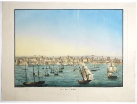
Very rare view of Cadiz and its seafront drawn and engraved by Renouard, published in Paris by Fatout et Avice, Quai Malaquai..
2,500€
Showing 1 to 24 of 24 (1 Pages)

