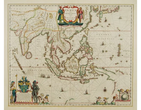
BLAEU, W. - India quae Orientalis.

BLAEU, W. - India quae Orientalis.
Published: Amsterdam, 1645
Size: 410 x 503mm.
Color: Original colours.
Condition: A fine copy. With French text on verso.
Description
The map covers the area from India to Japan, with the East Indies. It was the first popular map to depict part of Australia (together with New Guinea) i.e. at bottom right the west coast of Carpentaria and the NW top of Australia with the following names: 't Hoge Landt, Rivier van Speult, Rivier Batavia, Water plaets, Rivier Coen, Vereenighde Rivier, Rivier Nassau, Staten Rivier, G.F.de Wits landt, Willems Rivier, 't Landt van D'Eendracht.
3,000€
- See other items by this publisher: BLAEU, W.
- Reference N°: 00774
1537 views
 Click on image to zoom
