All Products
 Click on image to zoom
Location: 1724
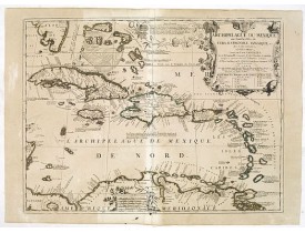
Scarce map of Caribbean. A visually stunning map with a large title cartouche. This large one-sheet map was produced by the V..
1,200€
Location: 1724
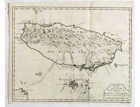
The earliest printed map of Taiwan or Formosa. Oriented to the east, with north at the left, covering the entire island and ..
3,750€
Location: 1725
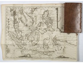
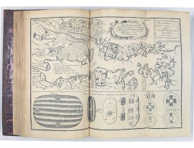
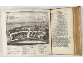
Important richely illustrated compendium of the first Dutch voyages to East India, of great interest for the history and esta..
5,000€
Location: 1725
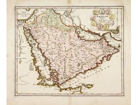
A very striking map of the ancient Arabian Peninsular, embellished with an coloured pictorial title cartouche...
500€
Location: 1725
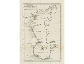
Detailed of the Caspian Sea, prepared by Karl van Verden in 1722. Van Verden was a Russian sailor and the Czar's Special Comm..
200€
Location: 1726
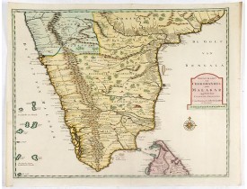
Fine map depicting the southern part of India and the northern tip of Ceylon. Much detail is given along the coastlines, sett..
5,000€
Location: 1726
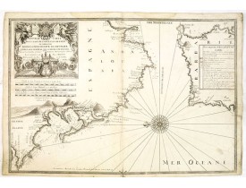
The chart covers Cadiz and the Strait of Gibraltar. Includes San Lucar de Barameda, Rota, Cape Trafalgar, Ceuta, Tangiers, Ta..
750€
Location: 1728
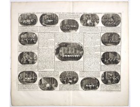
CHATELAIN, H. - Carte du Gouvernement Civil et Politique de l'Espagne . . . - 38858 - Spain - CHATELAIN, H. - Carte du Gouve..
120€
Location: 1728
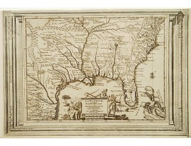
This splendid map of the southern United States was based on Delisle's influential Carte du Mexique de la Floride.. of 1703. ..
900€
Location: 1728
With decorative title cartouche upper left corner. This example is unusual in having the additional separately engraved decor..
250€
Location: 1728
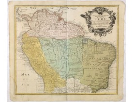
A good and clean copy of Homann's map of the northern part of South America. The map is on the Valley of the Amazon and delin..
350€
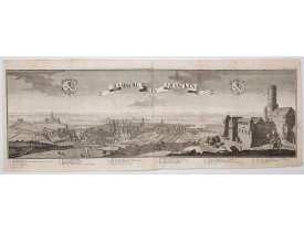
Location: 1729
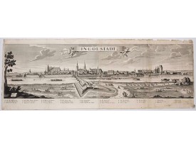
A spectacular panoramic view of Ingolstadt in Bavaria, with legends numbered from A-P and 1-6 in German. With the title in a ..
1,500€
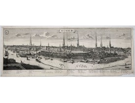
Location: 1729
A spectacular panoramic view of Hamburg, with legends numbered 1-19 and A-Z in German. With the title in a banderol.After a ..
2,000€
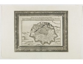
Location: 1729
Plan of the town and fortress of Nice, "Town taken by the French from the Duke of Savoy in 1692". Plan after N. de Fer publis..
100€
Location: 1729
This is a spectacular panoramic view of Bamberg, with legends numbered from 1 to 24 in German. The title is in a banderol.Aft..
1,200€
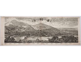
Location: 1729
A spectacular panoramic view of Heidelberg, with legends numbered from 1-72 in German. With the title in a banderol.After a d..
1,500€
Location: 1729
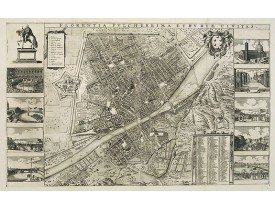
Detailed bird's-eye view of the town of Florence first published in Frederick de Wit's rare town book. With two keys 1-17 and..
2,500€
Location: 1729
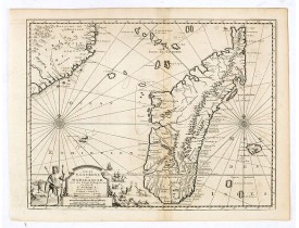
Detailed map of Madagascar and Réunion. Published by Pieter van der Aa in "Galérie agréable du monde", completed in 1729. Th..
450€
Location: 1729
First French edition, published by P.Gosse, J.Neaulme and B.Lakeman. The basic work on Japan from the second half of the 17th..
7,000€
Location: 1729
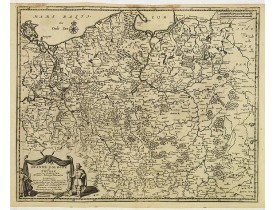
Detailed map of Poland and Prussia. Published by Pieter van der Aa who published a.o. ' Naauwkeurge versameling der gedenkwaa..
500€
Location: 1729
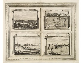
Quatre vues sur une planche figurant Brest et St. Malo (sous 3 angles différents). Planche figurant dans la "Galerie Agréable..
450€
Location: 1729
Original edition of the first volume of the Dutch translation of an extensive series on the geography, history and culture of..
1,300€
Location: 1729
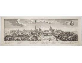
A spectacular panoramic view of Legnica in southwestern Poland, in the central part of Lower Silesia, with legends numbered f..
2,500€
Location: 1730
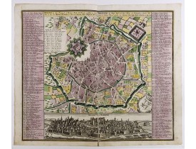
Fine example of Seutter's decorative and highly detailed plan of Milan, with a striking panoramic view of the City below. ¤Ma..
1,900€
Location: 1730
Vibrantly decorative world map surrounded by vivid engravings of natural phenomena such as waterspouts, a rainbow, earthquake..
2,900€

