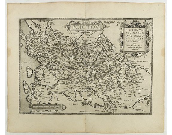
ORTELIUS, A. - Poictou. Pictonum Vicinarum que Regionum Fidiss Descriptio.
 Click on image to zoom

ORTELIUS, A. - Poictou. Pictonum Vicinarum que Regionum Fidiss Descriptio.
Published: Antwerp, 1598
Size: 361 x 505 mm.
Color: Uncoloured.
Condition: French text on the verso. Wide margins and a strong and dark impression. In fine condition.
Description
ORTELIUS, A. - Poictou. Pictonum Vicinarum que Regionum Fidiss Descriptio. - 40965 - Poitou - ORTELIUS, A. - Poictou. Pictonum Vicinarum que Regionum Fidiss Descriptio. - 40965 - Poitou
350€
- See other items by this publisher: ORTELIUS, A.
- Reference N°: 40965
