France
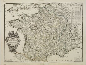
Location: 1693
Published: Amsterdam, 1693
Size: 670 x 613mm.
Color: In original o/l colours.
Condition: Sur papier fort. Légèrement bruni le long du pli central, pli d'origine à droite et petite déchirure à droite restaurée.
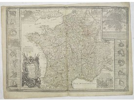
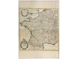
Carte des Postes de France par Sanson décorée d'un cartouche de titre orné, d'une échelle et d'un cartouche comprenant les "R..
400€
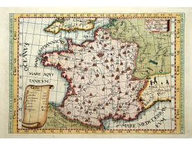
Location: 1695
Published: Utrecht, ca. 1695
Size: 335 x 315mm.
Color: Coloured.
Condition: In very good condition.
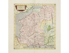
A handsome Ptolemaic map of France and Belgium, showing a partial coastline of England. Mercator originally published this ma..
400€
Location: 1698
Published: Amsterdam, 1698
Size: 465 x 560mm.
Color: In attactive original colours.
Condition: Slightly age-toned. Some very few brown spotting and a small ink stain. Lower margin with paper strip. Generally good.
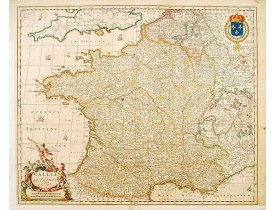
Detailed engraved map of France decorated with sailing ships, decorative title cartouche with allegoricall figures and a coat..
300€
Location: 1700
Published: Naples, 1700
Size: 433 x 575mm.
Color: In original o/l colours.
Condition: Fine condition, good margins. Slightly light brown spotting. Paper slightly age toned. Old binding slips at center fold on verso.
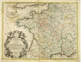
Rare map of France. Engraved by Andrea Magliar and published by Paolo Petrini. Based on a map of Nicholas De Fer.This is the ..
300€
Location: 1705
Published: Paris, 1705
Size: 210 x 245mm.
Color: In original o/l colours.
Condition: Paper slightly age toned and browned, a dark impression. Repair of a split in lower part center fold. <br />Accompanied by a double page engraved text sheet with a description of the region.
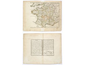
DE FER, N. - La France avec ses acquisitions jusqu'à l'année 1705. - 37709 - France - DE FER, N. - La France avec ses acquis..
75€
Location: 1708
Published: Paris, 1708
Size: 470 x 640mm.
Color: In original o/l colours.
Condition: Some marginal tear on centerfold extremities. A 3 cm repaired tear bottom right 2cm into the engraved area. Else in good condition.
Detailed map of France by Nicolas De Fer, Royal French Geographer...
400€
Location: 1712
Published: Milan, 1712
Size: 222 x 318mm.
Color: In attactive colours.
Condition: Trous de ver marginaux.
In "Atlas des Capucins"...
300€
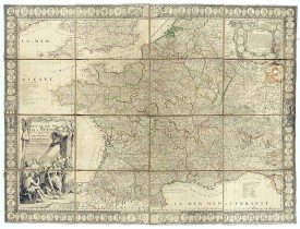
Location: 1715
Published: Paris, à présent rue St. Jacques au-dessus de la rue des Mathurins à l'enseigne de la Place des Victoires et du Lion d'Argent, c. 1715
Size: 1009 x 1440mm.
Color: Original outline colors.
Condition: Large folding map dissecte in 6 sheets + decorative border, mounted on linen. Paper slightly age-toned. A hole of 4 cm at upper right part in "Franconie", missing a few location names and water staining. A few worm holes affecting the right border and the lower part of the map.
Impressive wall map of France decorated with a large figurative title cartouche, a dedication cartouche to the glory of the K..
2,500€
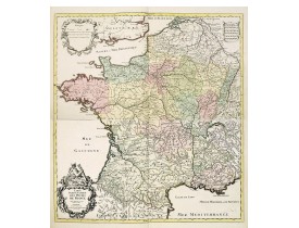
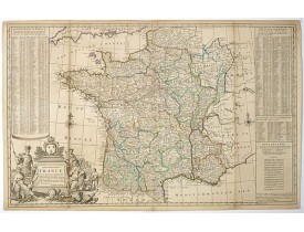
Location: 1720
Published: Amsterdam, 1720
Size: 670 x 630mm.
Color: Attractive original colour.
Condition: Mint condition condition. Two unjoined sheets. Each sheet about 485x630mm.
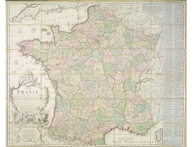
Large and highly detailed postal map of France. Prepared by Nicolas Sanson in 1693 and published by Covens and Mortier, broth..
800€
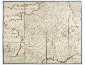
Location: 1737
Published: Paris, 1737
Size: 410 x 516mm.
Color: Uncoloured.
Condition: Good condition.
Carte figurant les rivières et les principaux bassins hydrographiques de la France, sur laquelle sont également signalés les ..
120€
Location: 1740
Published: London, P. Overton, T. Bowles, John King, ca. 1740
Size: 610 x 974mm.
Color: In original o/l colours.
Condition: Small repairs of vertical fold and some discolouration for the rest an attractive item. Printed on two joined sheets.
A decorative wall size map of France. In the lower left bottom is a large and very decorative cartouche. The map was first pu..
700€
Location: 1741
Published: Nuremberg, 1741
Size: 515 x 580mm.
Color: In attactive original colours.
Condition: 2 petites fentes en bas de la carte habilement restaurées.
Titre en français hors de la carte : "Carte de France dressée par Guillaume de L'Isle et accomodée par les Heritiers d'Homann..
150€
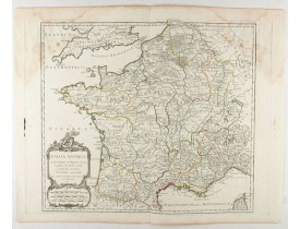
Location: 1750
Published: Paris, 1750
Size: 480 x 540mm.
Color: In original o/l colours.
Condition: Large mouillure en haut à droite.
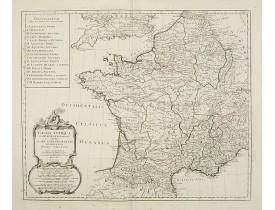
Carte figurant la Gaule romaine et ses provinces...
50€
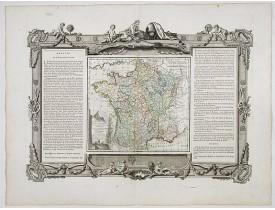
Location: 1770
Published: Paris, 1770
Size: 395 x 560mm.
Color: Original outline colours.
Condition: Wide margins and strong paper. Good and dark impression.
Map of France surrounded by a decorative frame...
80€
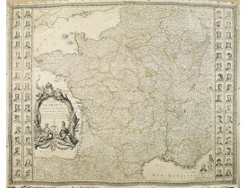
Location: 1776
Published: Paris, 1776
Size: 1005 x 1320mm.
Color: In original o/l colours.
Condition: Carte monumentale entoilée en 4 feuilles jointes.
Belle carte murale de France par Jean-Baptiste de la Fosse (1721-1806). Elle est ornée de chaque côté de portraits des rois d..
2,000€
Location: 1780
Published: Spain or London, c.1780
Size: 560 x 720mm.
Color: In original colours.
Condition: Paper slightly age-toned and with light spotting.
Very rare, likely separately issued map of France with text in Spanish. Based on a map by William Faden from London...
200€
Location: 1780
Published: Paris, ca. 1780
Size: 330 x 223 mm.
Color: In attactive original colours
Condition: In good condition, some light age toning. On the reverse is an attractive sepia coloured drawing of a young male face, and instructions of how to draw it correctly. Some (crude) old repairs to small closed tears. Fixings on verso, mounted.
A nice set of sixteen French professions, or trades, or stage
characters. The print is faint on some titles. Some of the ch..
150€
Location: 1782
Published: Paris, 1782
Size: 485 x 560mm.
Color: In attactive original colours.
Condition: Paper slightly age-toned. Repair of a split lower part center fold. Good condition.
Uncommon map of France with 16 inset plans of the major towns in France. Each town with a few lines of comment about their be..
750€
Location: 1784
Published: Venice, 1776 - 1784
Size: 470 x 570mm.
Color: In original o/l colours.
Condition: Minor marginal foxing, affecting the lower right corner. Elsewhere very good condition.
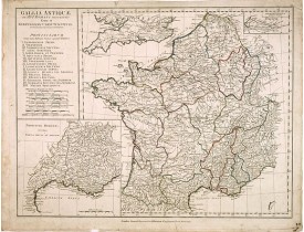
Historical map of France depicted in Roman times showing ancient divisions. With numbered key in the upper left corner listin..
100€
Location: 1784
Published: Venice, 1776 - 1784
Size: 465 x 559mm.
Color: In original o/l colours.
Condition: A good and dark impression. Very good condition.
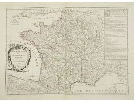
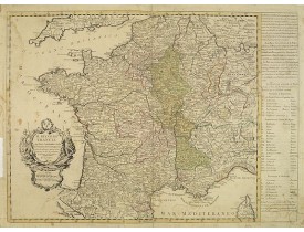
Decorative map of France with large title cartouche and a liste of the "Provinces de France".Prepared by Le Sieur Janvier, Je..
250€
Location: 1787
Published: Paris, 1787
Size: 440 x 525mm.
Color: In original o/l colours.
Condition: Very good to mint condition. Good margins.
Map of France during the regime of Henri IV. With a colour key in lower left. Prepared by J.A. Dezauche, who was a publisher,..
50€
Location: 1790
Published: Londres, 1790
Size: 378 x 500mm.
Color: In original o/l colours.
Condition: Quelques rousseurs et petites déchirures dans les marges.
Carte figurant la Gaule romaine. Table de renvois I à XVII indiquant les noms des différentes provinces. En carton, carte dét..
50€
Location: 1790
Published: Paris, 1790
Size: 800 x 980mm.
Color: In attactive original colours.
Condition: Carte divisée 30 segments entoîlée d'origine et repliée. Bel exemplaire.
Grande carte "Dressée sur les Mémoires de l'Académie des Sciences assujetie aux dernières Observations Astronomiques. Avec le..
250€
Location: 1793
Published: Paris, 1793
Size: 610 x 890mm.
Color: In attactive original colours.
Condition: Carte repliée (4 pliures), papier un peu jauni, quelques rousseurs. Mers col. en vert pâle, canaux en violet.
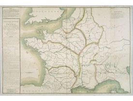
Navigation générale de la France, Carte Géographique des Rivières et des Canaux projettés, à l'effet d'établir une navigation..
500€
Location: 1795
Published: Vienne, 1795
Size: 550 x 698mm.
Color: Coloured.
Condition: Plano sheet edition. In very good condition. Wide margins.
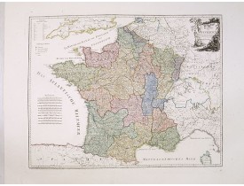
An attractive map of France. With a decorative title cartouche in the upper right-hand corner and a legend on the left side. ..
400€



![ANONYMOUS. - [No title.] Sixteen small engravings. ANONYMOUS. - [No title.] Sixteen small engravings.](https://www.loeb-larocque.com/eshop/image/cache/catalog/image/new_upload/ANONYMOUS-[No-title-]-Sixteen-small-engravings-275x210h.jpg)
