All Products
 Click on image to zoom
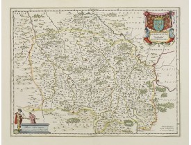
Location: 1658
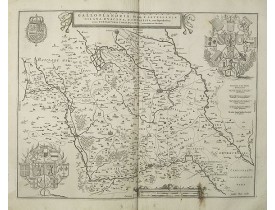
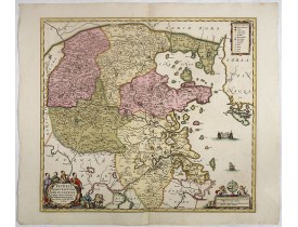
A very decorative map with beautiful cartouches of a province of France by one of the most famous map publishers. At this map..
150€
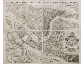
Location: 1659
PREMIERE EDITION. Plan de Lyon à « vol d’oiseau » commandé par le consulat, destiné à la diffusion et à la notoriété de la c..
2,500€
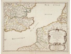
Location: 1659
The standard map of South Eastern England with Kent and Essex, Sussex and Cornwall in 17th century France. Engraved by A.Peyr..
270€
Location: 1659
The standard map of Middle Eastern part of England with Chester, Leicester, Oxford, Cambridge, etc. in 17th century France. E..
240€
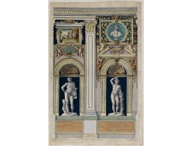
Location: 1660
Ornamental representation of Temple St. Mariae in Rome by Petrus Aquila (1650-1692), after Annibale Carracci. Inscribed in t..
450€
Location: 1660
Map of French Flanders. Blank on verso. A finely engraved map from the most important Dutch map publishers of the 17th centur..
80€
Location: 1660
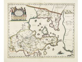
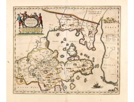
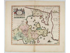
A map of the northern province ‘Xantung’ of China after the Jesuit Martino Martini.Shows the Great Wall and is centered on th..
1,200€
Location: 1660
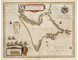
A map with Willem Blaeu's signature, but published by his son Joan, of South America's extremity with the Strait of Magellan ..
800€
Location: 1660
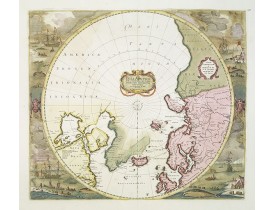
A re-issue of the Hondius' plate. A particularly decorative map of the North Pole. The toponamy in Canada reflects the contin..
2,000€
Location: 1660
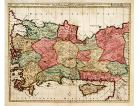
Uncommon map of Turkey, also depicting Cyprus...
450€
Location: 1660
A map of the northern province ‘Xantung’ of China after the Jesuit Martino Martini.Shows the Great Wall and is centered on th..
1,400€
Location: 1660
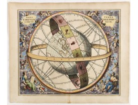
CELLARIUS, A. - Situs Terrae Circulis Coelestibus circundatae.. - 34755 - Celestial chart - CELLARIUS, A. - Situs Terrae Cir..
5,000€
Location: 1660
BLAEU, J. - Xantung, sinarum imperii provincia quatra. - 34015 - China provinces - BLAEU, J. - Xantung, sinarum imperii prov..
2,000€
Location: 1660
JANSSONIUS, J. - Pecheli, Xansi, Xantung, Honan, Nanking, In plaga Regni Sinensis.. - 38794 - China provinces - JANSSONIUS, ..
1,500€
Location: 1660
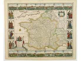
Carte de France à bordures dédiée à Louis XIV. Ces bordures comprennent 14 vues de villes et 8 médaillons figurant le roi et ..
3,200€
Location: 1660
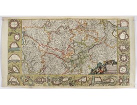
Decorative map with 18 vignettes on three sides showing fortifications along the Rhine...
750€
Location: 1660
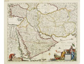
East from Cyprus to Iran with numerous place names and ornamental cartouches below. There are vignettes of sailing ships in s..
750€
Location: 1660
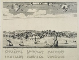
A rare panoramic view of Lisbon with over the whole length of the lower part 3 columns of poems in Latin, Dutch and French.Pu..
2,000€
Location: 1660
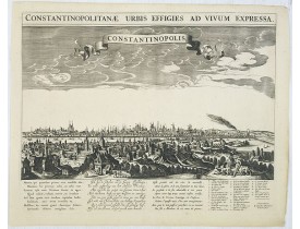
A rare panoramic town-view of Istanbul with over the whole length of the lower part 3 columns of poems in Latin, Dutch and Fr..
3,500€
Location: 1660
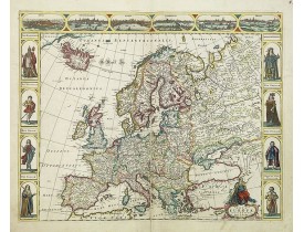
Four panels in columns on each side show portraits of Kings and Queens of European countries. The top border contains panoram..
3,000€
Location: 1661
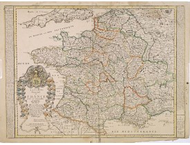
La Carte Generale de France et de ses nouvelles Acquisitions / Par P. Du Val. Dédiée à Messire Hierosme Bignon Con.er du Roy ..
300€
Location: 1661
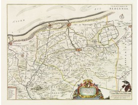
With a dedication by Jacobus de la Fontaine to the nobles and the magistrates of Bergen. Very detailed map including the town..
530€
Location: 1662
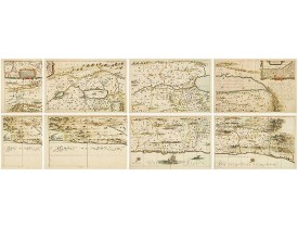
HORNIUS, G. - Hornius Map of the Holy Land, Israel, and Palestine - 43037 - Holy Land - HORNIUS, G. - Hornius Map of the Hol..
3,000€
Location: 1662
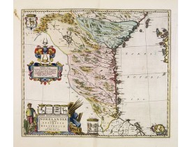
Uncommon map prepared by Anders Bure (1571-1646) with a dedicational cartouche to Gabriel Bengtsson Oxenstierna.The Atlas Mai..
400€
Location: 1662
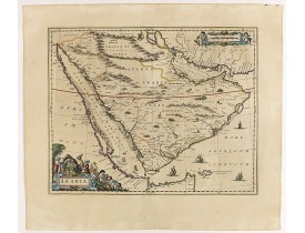
A handsome map of the Arabian Peninsula drawn on a large scale on which the three classical divisions are shown with some urb..
3,000€

