All Products
 Click on image to zoom
Location: 1668
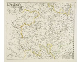
Detailed map of Franche- Comté with fine title cartouche lower right. Centered on Besançon...
300€
Location: 1669
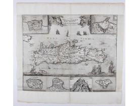
An earlier and smaller version of De Wit's map of Candia. Richly engraved work, one of the most beautiful ever produced of Cr..
2,250€
Location: 1669
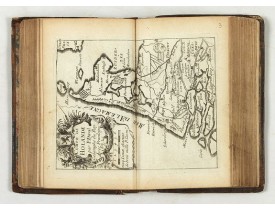
A rare atlas in three parts. Including a fine map of China, Taiwan and Korea "Carte du voyage des Ambassadeurs de la Compagni..
7,000€
Location: 1670
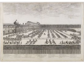
Planche de la série « Courses de Testes et de Bagues Faittes par le Roy
et par Les Princes et Seigneurs de sa cour En l'ann..
500€
Location: 1670
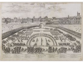
SYLVESTRE, I. - Comparse des Cinq Quadrilles dans l'Amphitheatre. - 36511 - Paris - SYLVESTRE, I. - Comparse des Cinq Quadri..
500€
Location: 1671
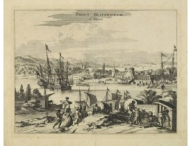
View of the port of St. Augustine, the oldest city in the United States and the northernmost bastion of the Spanish empire in..
450€
Location: 1672
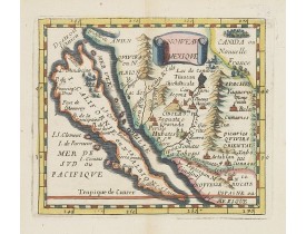
Uncommon miniature map of California as a island, from Pierre Duval's La Geographie Universeille dated 1676. The map is deriv..
800€
Location: 1672
Compilation of Duval's Pocket Atlas, with an archbishoprics and dioceses description of the world, here right at the beginnin..
3,000€
Location: 1673
Taken from a very rare travel book by Anthonius Gonsales, "Hierusalemsche Reyse". The book describes his pilgrimage from Antw..
50€
Location: 1673
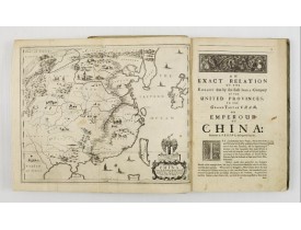
FIRST ENGLISH TEXT EDITION of this most important and early resource on China and the Chinese. Three parts in one folio by Jo..
8,500€
Location: 1673
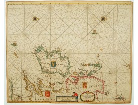
An eye-catching chart of Ireland, including north of England and Scotland, with West to the top. Pieter Goos (ca. 1616-1675) ..
1,350€
Location: 1675
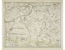
Uncommon edition of this map of the region of Artois and Chambray with the title along the top.Dated 1675 with the address "p..
200€
Location: 1675
A superbly decorative chart , oriented with north to the left of the sheet, covering the coasts of Central America, Peru, Ch..
1,100€
Location: 1675
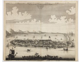
This important copperplate engraving is one of the earliest European views of Taiwan, depicting the Dutch fortifications and ..
1,500€
Location: 1676
Fine map of France.This edition aux Galleries du Louvre. has been erased. No date. Nicolas Sanson was to bring about the rise..
100€
Location: 1676
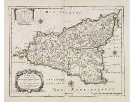
Uncommon map of Sicily with fine title cartouche lower left . Original date of 1675 now altered to 1676...
500€
Location: 1676
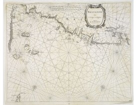
Carte marine figurant la côte bretonne avec les îles anglo-normandes, Saint-Malo, St-Pol-de-Léon, Brest et l'île d'Ouessant...
600€
Location: 1676
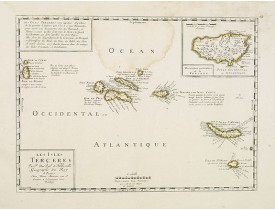
Uncommon map of the Azores. Engraved by Sommer. Du Val is mentioned as the cartographer and the publisher was Pierre Mariette..
300€
Location: 1676
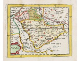
Uncommon miniature map of the Arabian peninsular, from Pierre Duval's La Geographie Universeille dated 1676. Following his Ca..
550€
Location: 1677
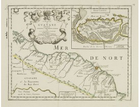
Uncommon map of the French colony Guyana in southern American Guyana, with a detailed enlargement of Cayenne in the upper rig..
300€
Location: 1678
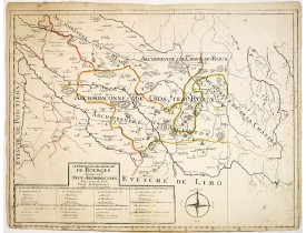
Carte de l'archevêché de Bourges et de ses neuf Archidiaconés par Guillaume Sanson (1 feuille sur 4). Ornée d'une rose des ve..
120€
Location: 1678
A very nice depiction of the Château de Chenonceau near Tours, France with in the foreground of a dead lion, surrounded by r..
45€
Location: 1678
A very nice view of a city. On the foreground, a wine grower is depicted. With a verse in two languages underneath the pictur..
50€
Location: 1680
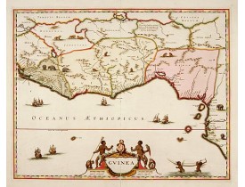
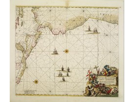
A close copy of the map by Blaeu. Covers the Guinea and Benin coast. A very decorative map with a large title cartouche. At b..
900€
Location: 1680
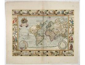
A beautifully decorative world map taken from the 'English Atlas' by Moses Pitt and Steven Swart, based on an earlier engrave..
5,800€


![GONSALES, A - [Illustration from Hierusalemsche Reyse.] Turckschemoniken die onder den goddelycken. . . GONSALES, A - [Illustration from Hierusalemsche Reyse.] Turckschemoniken die onder den goddelycken. . .](https://www.loeb-larocque.com/eshop/image/cache/catalog/image/new_upload/30799-275x210h.jpg)
![MEISNER, D. - In einem Todt .. [ Château de Chenonceau ]. MEISNER, D. - In einem Todt .. [ Château de Chenonceau ].](https://www.loeb-larocque.com/eshop/image/cache/catalog/image/new_upload/13817-275x210h.jpg)
![MEISNER, D. - Fundi in Champanien. [Champagne]. MEISNER, D. - Fundi in Champanien. [Champagne].](https://www.loeb-larocque.com/eshop/image/cache/catalog/image/new_upload/13744-275x210w.jpg)
