Menu
Menu
Your Cart

All Products

Click on image to zoom

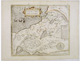
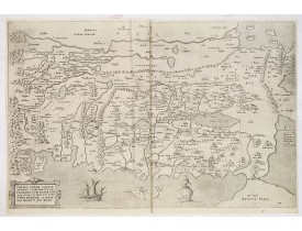
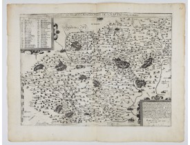
Location: 1582
Published: Cologne, 1582
Size: 367 x 418mm.
Color: In original o/l colours.
Condition: Paper slightly age toned. Good condition.
A beautifully executed and very rare map of the Promised Land, divided into the 12 Tribes. The shore line runs in north-south..
4,000€
Add to Cart
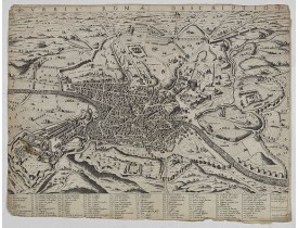
Location: 1582
Published: Rome, 1582
Size: 400 x 530mm.
Color: Uncoloured.
Condition: Margins cut till plate mark, several tears repaired.
First state of three. A rare view of Rome from the Lafreri-School. Below the view there is a numbered legend of 114 reference..
2,500€
Add to Cart
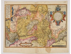
Location: 1582
Published: Cologne, 1582
Size: 350 x 519mm.
Color: Coloured.
Condition: Paper slightly browned. Good impression. Good condition. French text on verso.
Two bird's eye perspectives on one sheet. The left plan shows ancient Jerusalem at the time of Christ. A contemporary view of..
1,000€
Add to Cart
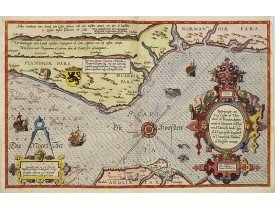
Location: 1584
Published: Amsterdam, 1584
Size: 605 x 525 mm.
Color: In original colours with refreshments.
Condition: Dutch text on verso. Some browning, foxing. A few worm holes filled in. The Europe chart is larger than the other charts in the atlas, as often the case the lower margin is trimmed affecting part of the grade scale. Dark impression.
This general chart of north-western Europe and the surrounding coastal waters is from the rare pilot-guide De Spiegel de..
19,000€
Add to Cart
Location: 1584
Published: Antwerp, ca 1584
Size: 345 x 495mm.
Color: In attactive original colours
Condition: Brown spot in the lower part. Rare, blank on the verso. In fine condition.
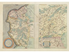
A very beautiful hand colored copper engraved map of North Rhein-Westphalia by A. Ortelius. This is a general map of Westphal..
150€
Add to Cart
Location: 1585
Published: Leiden, Plantijn, 1585
Size: 325 x 510mm.
Color: Coloured.
Condition: Marginal discolouration and paper slightly age-toned. Left and right margins underlaid. Else good condition.
A detailed description of the English channel coastland. Decorated by a colourful title cartouche and scale cartouche, one ..
3,000€
Add to Cart
Location: 1585
Published: Leiden, Plantijn, 1585
Size: 325 x 510mm.
Color: Coloured.
Condition: Paper slightly age-toned. Repair of a few marginal tears. Else good condition.
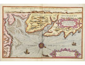
A detailed description of the northern coast of England. West to the top. Milleage cartouche has no Latin captures. Decorated..
2,000€
Add to Cart
Location: 1585
Published: Leiden, Plantijn, 1585
Size: 325 x 510mm.
Color: Coloured
Condition: Papier uniformément bruni. Bonne condition générale. - Marginal discolouration and paper slightly age-toned. Else good condition.
Rare carte marine représentant les côtes de Flandre, Picardie et Normandie depuis Nieuwpoort jusqu'à Dieppe, avec le texte en..
2,500€
Add to Cart
Location: 1587
Published: Anvers, 1587
Size: 335 x 480mm.
Color: In attactive original colours.
Condition: Papier légèrement jauni.
Deux cartes sur une planche. Texte français au verso. La carte du Calaisis est fondée sur la carte en 4 feuilles par Nicolas ..
250€
Add to Cart
Location: 1587
Published: Amsterdam, 1587
Size: 282 x 524mm.
Color: Coloured.
Condition: Some minor paper thinness along centerfold. Paper slightly age-toned, as usual. Very good condition.
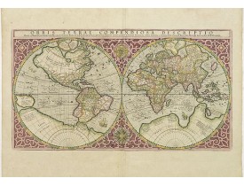
Gerard Mercator's great world map of 1569 was condensed into double hemispherical form by his son Rumold. It first appeared i..
9,500€
Add to Cart
Location: 1587
Published: Anvers, 1587
Size: 365 x 491mm.
Color: In fine original colours.
Condition: Some minor marginal discolouration of paper.
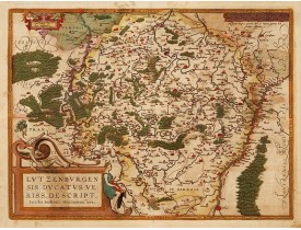
From a rare Spanish text edition. Prepared by Jacob Surhon who made a manuscript map of Luxembourg for which he received 500 ..
600€
Add to Cart
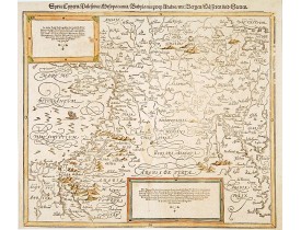
Location: 1588
Published: Bâle, c.1588
Size: 305 x 358mm.
Color: Coloured.
Condition: Wood cut map. Paper slightly age toned, as usual. Alltogether a fine impression.
A famous wood block map of the Near East, including Cyprus, Palestine, Iran and Irak, etc. From his "Cosmographia", that grea..
450€
Add to Cart
Location: 1588
Published: Cologne, Gerardus Campensis for Frans Hogenberg, 1588
Size: 276 x 204mm.
Color: Uncolored
Condition: Folio. With the famous large folding engraved map "Leo Belgicus", engraved title page, portrait of von Aitsingzer, 207 (of 208) double-page engravings, 430pp. Apparently there are at least two different editions from 1588 with different contents. Contemporary brown calf binding, gold tooled label, Spine gilt in compartments, Wanting 1 double-page engraving (373-374). Corners, edges and joints somewhat rubbed and used. Tear at top left of title repaired, a few tiny holes along the folds of the map.
ENLARGED EDITION, with 207 (of 208) engravings of a famous eyewitness account of the Dutch Revolt, with the famous "Leo Belg..
39,000€
Add to Cart
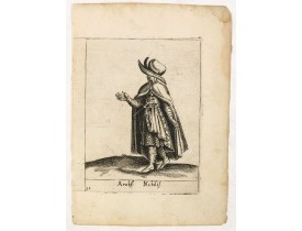
Location: 1589
Published: Padua, 1589
Size: 114 x 80mm.
Color: Uncoloured.
Condition: In very good condition.
Costume plate published by Pietro Bertelli in his "Diversarum nationum habitus", a sixteenth-century Italian costume book. Th..
60€
Add to Cart
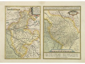
Location: 1590
Published: Anvers, c. 1590
Size: 334 x 470mm.
Color: In original colours.
Condition: Papier un peu jauni, infimes rousseurs.
2 maps on one sheet. Text is in french...
150€
Add to Cart
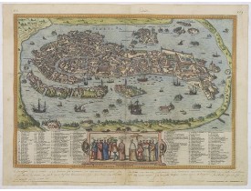
Location: 1590
Published: Cologne, 1590
Size: 335 x 485mm.
Color: In attractive original colours.
Condition: In very good condition. A good and dark impression. With contemp. marginal annotations in brown ink.
Precise, beautiful bird's-eye view of Venice, clearly depicting the city's architectural landmark. The surrounding lagoon is ..
3,500€
Add to Cart
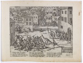
Location: 1590
Published: Cologne, ca. 1590
Size: 210 x 257 mm.
Color: Uncoloured.
Condition: Paper slightly age toned, dark impression. Very good condition.
Early print showing  the capture of Barnabé Brisson in  Paris, who was hanged  on 15 November by the Spanish.&..
100€
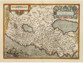
Location: 1590
Published: Anvers, 1590
Size: 367 x 505mm.
Color: Coloured.
Condition: A good and dark impression.
This is the most "modern" of Ortelius' maps of the Holy Land. It focuses specifically on the Holy Land and is oriented with e..
1,600€
Add to Cart
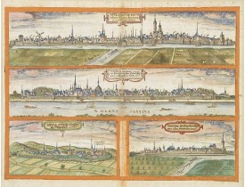
Location: 1590
Published: Germany, c.1590
Size: 335 x 498mm.
Color: In original colours.
Condition: 4 Pen and ink drawings with watercolour views on one sheet of paper. Paper a little brittle due to oxidation of green paint. Painted on sheet with Latin text on verso.
Four pen and ink with watercolour views of - Novesium vulgo Neus urbs ubiorum Rhenana Aº. Dm M.D.L.XXV ad viuum delineata. (1..
2,000€
Add to Cart
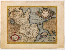
Location: 1590
Published: Antwerp, c. 1590
Size: 382 x 500mm.
Color: In attractive strong original colours.
Condition: Paper very slightly age-toned. Dark impression, printed on heavy paper. Some light offsetting due to oxidation of ink and colours. With French text on verso.
This is a very early depiction of the northern Pacific, with the first mapping of the Northwest Coast of America and probably..
1,500€
Add to Cart
Location: 1590
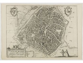
Published: Anvers, 1590
Size: 230 x 315mm.
Color: Uncoloured.
Condition: In good condition.
Eye-bird view of Valenciennes...
50€
Add to Cart
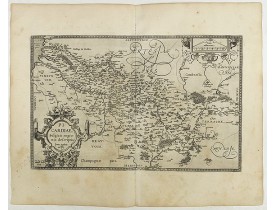
Location: 1590
Published: Antwerp, 1590
Size: 325 x 510mm.
Color: Uncoloured.
Condition: French text on the verso. Wide margins and a strong and dark impression. In fine condition.
From Theatrum Orbis Terrarum [Atlas of the Whole World]. Prepared by Jean Surhon...
200€
Add to Cart
Location: 1593
Published: Antwerp, ca. 1593
Size: 350 x 470mm.
Color: 1
Condition: Good and dark impression. Blank verso.
DE JODE, G. - Nova et integra caenomaniae descriptio vulg. Le Mans. - 47961 - Anjou - Maine - DE JODE, G. - Nova et integra ..
400€
Add to Cart
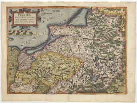
Location: 1593
Published: Antwerp, 1593
Size: 360 x 490mm.
Color: Coloured.
Condition: Very good impression. Some very light marginal spotting.
Nice example of the first edition of De Jode's map of Prussia, from the 1593 edition of De Jode's atlas.The present map is an..
2,000€
Add to Cart
Showing 73 to 96 of 2411 (101 Pages)