All Products
 Click on image to zoom
Location: 1730
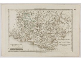
Prepared by N.Sanson. Printed on two copper plates...
25€
Location: 1730
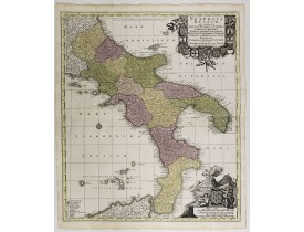
Map of the region from Naples to Calabria. Cartouche representing Vesuvius erupting.Matthaus Seutter the elder first publishe..
200€
Location: 1730
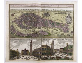
Birds-eye plan view of Venice, depicting the city's architectural landmarks. Below Saint Marco square.Matthaus Seutter the el..
2,750€
Location: 1730
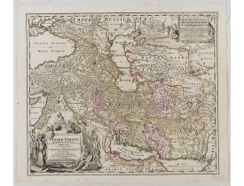
Showing the eastern part of Turkey and Cyprus, Palestine, Persian Gulf, including Gulf of Oman, Caspian Sea, Iran and the nor..
450€
Location: 1730
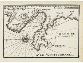
An attractive sea chart centered on Villefranche-sur-Mer and including Nice and Eze-Bord-de-Mer. With scale and a large compa..
300€
Location: 1730
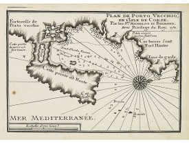
An attractive chart centered on Porto Vecchio. With scale and large compass-rose. Dated 1727, with the privilege of the King...
300€
Location: 1730
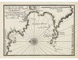
An attractive chart centered on Six-Fours-les-Plages and Sanary-sur-Mer, west of Toulon. With scale and large compass-rose. D..
200€
Location: 1730
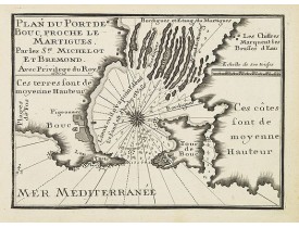
An attractive chart centered on Port-de-Bouc, west of Marseille. With scale and large compass-rose. Dated 1727, with the prev..
200€
Location: 1730
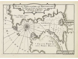
An attractive chart centered on the Bay of Port-Vendres in the Pyrénées Orientales. With scale and large compass-rose. Dated ..
200€
Location: 1730
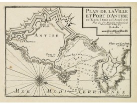
An attractive chart centered on Antibes. With scale and large compass-rose. Dated 1727, with the privilege of the King. From ..
300€
Location: 1730
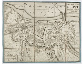
Beautiful plan showing the fortified town of Dieppe and the suburbs of Barre and Pollet, engraved by Inselin. Beautiful examp..
200€
Location: 1730
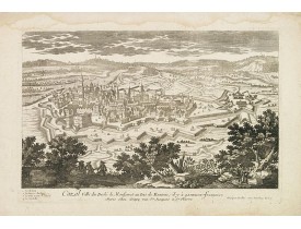
A rare panoramic town-view of Casale Monferrato in the Piedmont region. Engraved by Pierre Aveline (Paris, c.1656 - 23 M..
100€
Location: 1730
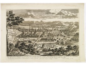
A rare panoramic town-view of the city of Budapest. Engraved by Pierre Aveline (Paris, c.1656 - 23 May 1722). He was also a ..
350€
Location: 1730
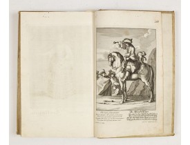
Rare recueil composite d'estampes publiées à Augsbourg par les célèbres éditeurs Martin Engelbrecht, Ioh. Georg Hertel et les..
9,500€
Location: 1730
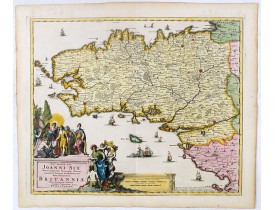
This rare map of Britany made by the Amsterdam publisher and Pieter Persoy (1675-1695). This among fourteen other maps are s..
700€
Location: 1730
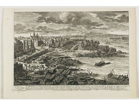
View of the Arcenal in Paris. Published in Paris at N. Langlois rüe St. Jacques a la Victoire. N. Langlois, son-in-law of the..
120€
Location: 1730
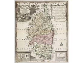
Ornée dans la partie sup. gauche d'un cartouche de titre décrivant une scène pittoresque corse, en haut à droite d'une descri..
950€
Location: 1730
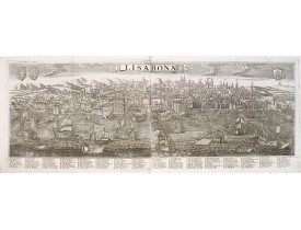
A large-scale panoramic town-view of Lisbon, with legends in Latin and German, numbered from 1-72, along the bottom of the pr..
4,500€
Location: 1730
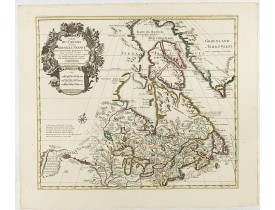
COVENS, J./ MORTIER, C. - Carte du Canada ou de la Nouvelle France. - 00675 - Canada - COVENS, J./ MORTIER, C. - Carte du Ca..
1,000€
Location: 1732
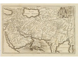
Uncommon map of Persia, Armenia, Arabian Peninsular and part of India. Prepared by Christoph Cellarius (1638-1707). From Geo..
80€
Location: 1734
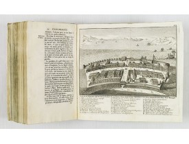
This most uncommon work provides an interesting focus on the dissemination of the outline of Japan provided by Kaempfer. Besi..
1,000€
Location: 1734
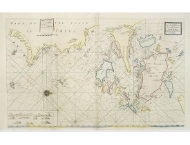
A very fine sea chart of China's Zhejiang Province, from the celebrated Third Book of 'The English Pilot'This elegant and lar..
2,500€
Location: 1735
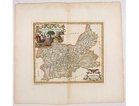
Important map of Yun-nan 云南 [Yunnan] province. With a quite elaborately pictorial cartouche featuring a rococo chinoiserie or..
100€
Location: 1735
Important map of Koei-tcheou 贵州 [Guizhou]. With a quite elaborately pictorial cartouche featuring a rococo chinoiserie orname..
80€
Location: 1735
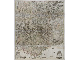
Rare wall map of the Savoie/Piémont and Dauphiné/Provence region. Decorated with 2 title-cartouches, one at upper right part ..
2,500€

