All Products
 Click on image to zoom
Location: 1794
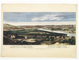
Vue générale de Paris Prise de la hauteur du Village de Chaillot...
250€
Location: 1794
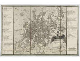
Charming little town-planof Moscow engraved by Tardieu. Separately issued and also included in "l’Histoire de la Russie" by L..
750€
Location: 1795
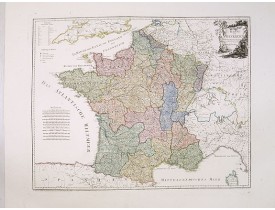
An attractive map of France. With a decorative title cartouche in the upper right-hand corner and a legend on the left side. ..
400€
Location: 1795
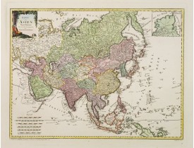
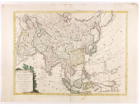
An attractive map of Asia. With a decorative title cartouche in the upper left-hand corner. Engraved by A.Amons. Franz Johann..
900€
Location: 1795
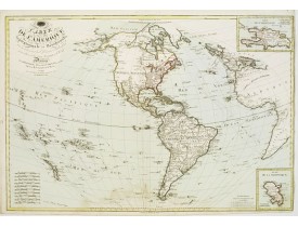
Uncommon map of America, Western Europe and Africa showing routes of Surville, Cook, Vancouver and Mackenzie, prepared by Hér..
750€
Location: 1796
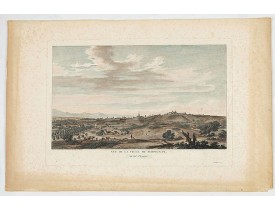
LESPINASSE, Chevalier De. - Vue de la ville de Perpignan, du côté d'Espagne. - 42017 - Roussillon - LESPINASSE, Chevalier De..
150€
Location: 1797
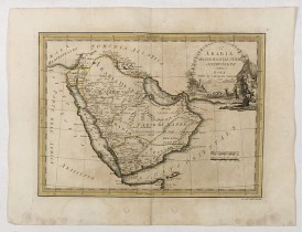
First edition on laid paper. Cassini’s splendid early map of Arabia...
1,875€
Location: 1797
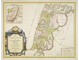
Fine map of Palestine devided amoung the tribes onboth sides of the Jordan and according to the Roman provinces. The shore li..
400€
Location: 1798
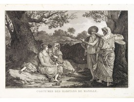
A very beautiful print, showing four elegant figures relaxing in a shady glade, two women recline and two stand chatting.Afte..
200€
Location: 1798
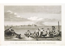
Two boats and passengers with Cavite Philippines in the background as it was seen from Manila Bay in January 1787. After a de..
225€
Location: 1798
Chart of the discoveries to the north of Japan, in 1643 by the Dutch ships Castricum and Breskens. In two small insets in the..
630€
Location: 1798
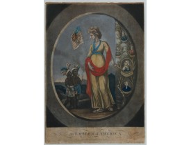
An Emblem of America : This white female figure of Columbia, emblematic of the United States, represents America in a set of ..
1,700€
Location: 1798
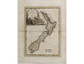
CASSINI, G. M. - La nuova Zelanda delineate sulle ultima osservazioni del Capitan Cook. - 43191 - New Zealand - CASSINI, G. ..
6,000€
Location: 1799
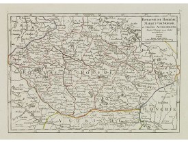
Small detailed map of today Czech Republic. From Atlas Portatif Universel, by Robert de Vaugondy.Edited by : "Au dépôt de Géo..
80€
Location: 1799
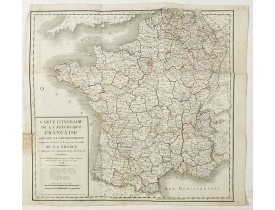
Folding map of France, extending northeastwards to include Belgium and part of Germany.From Atlas Portatif Universel, by Robe..
50€
Location: 1799
A very scarce map of Asia, in the style of Antonio Zatta with a scenic title cartouche, but folio-sized. It comes from a neve..
2,000€
Location: 1800
A despondent couple, in their bed chamber, prepare to take an enema. An enema, also known as a clyster, is an injection of fl..
100€
Location: 1800
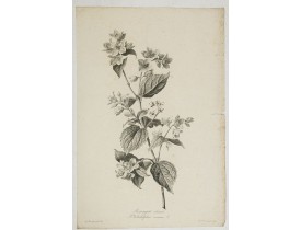
SPAENDONCK, G. van - Seringat odorant - Philadelphus coronarius L. - 34444 - - SPAENDONCK, G. van - Seringat odorant - Phil..
500€
Location: 1800
An attractive map of Russia in two unjoined sheets. Very detailed with rivers lakes mountains etc. To the lower right corner..
1,400€
Location: 1800
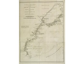
Uncommon map of eastern part of China, showing a journey of the English Embassy from Hangzhou (south of Shanghai) to Guangzho..
400€
Location: 1800
French manuscript map of the Ligurian coast fom Pietra and Finale, Savone to Genova with the Maritime Alps in the background...
3,500€
Location: 1800
Carte du nord de l'Italie avec la Corse faisant partie de la "Carte générale de l'Italie et de la côte orientale de la mer Ad..
300€
Location: 1800
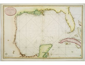
Detailed and important early chart of the Gulf Coast and Florida and dated 1800. From Neptune des cotes occidentales d'Amer..
4,000€
Location: 1800
Bouquet of lilacs, engraving by P.F. Le Grand after designs by the Dutch born Gerard van Spaendonck (1746-1822).Taken from th..
700€
Location: 1800
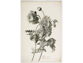
Bouquet of poppy flowers, stipple engraving by P.F. Le Grand after designs by the Dutch born Gerard van Spaendonck (1746-1822..
1,000€


![MOTTE, Charles. - [No Caption] MOTTE, Charles. - [No Caption]](https://www.loeb-larocque.com/eshop/image/cache/catalog/image/new_upload/46332-275x210h.jpg)
![SCHRAMBLE, F.A. - [No title : Wall-map size map of Russia] SCHRAMBLE, F.A. - [No title : Wall-map size map of Russia]](https://www.loeb-larocque.com/eshop/image/cache/catalog/image/new_upload/34484-275x210w.jpg)
![ANONYME. - [Manuscript map of the Ligurian coast fom Pietra to Genova]. ANONYME. - [Manuscript map of the Ligurian coast fom Pietra to Genova].](https://www.loeb-larocque.com/eshop/image/cache/catalog/image/new_upload/26627-275x210w.jpg)
![CHANLAIRE, P-G. - [Italie du nord / golfe de Venise avec l'Istrie / golfe de Gênes /Toscane / Ile de Corse ]. CHANLAIRE, P-G. - [Italie du nord / golfe de Venise avec l'Istrie / golfe de Gênes /Toscane / Ile de Corse ].](https://www.loeb-larocque.com/eshop/image/cache/catalog/image/new_upload/64995-275x210h.jpg)
