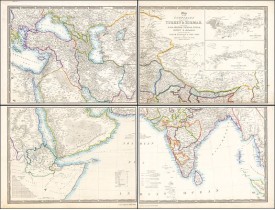
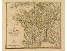
WYLD, J.
 Click on image to zoom
Location: 1841
Published: London, 1841
Size: 812 x 1045mm.
Color: Original outline colors.
Condition: Folding map in 4 sheets. If joined 812x1045 (32x41.5 inch)
This striking 4-sheet map, dating to the first half of the 19th century, covers a vast region stretching from Cyprus to Bhut..
1,100€
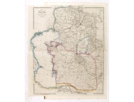
Location: 1846
Published: London, 2-1846
Size: 630 x 486mm.
Color: In original colours.
Condition: Very good condition.
This is a very detailed map of the Caspian Sea regions to the north and east. It includes the Caspian Sea, Aral Sea, and the ..
400€
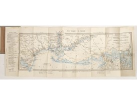
Location: 1855
Published: London, ca. 1855
Size: 840 x 310mm.
Color: In original colours.
Condition: Hand coloured folding map, pasted on linen and kept in original blind stamped cover, with printed title label. Linen on verso some staining, hardly on recto. Very good condition for a separately issued map.
Rare coloured linen backed map showing Russian troop positions and Odessa Batteries. On the inside of the cover a list of "Wy..
450€
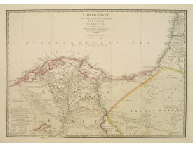
Location: 1864
Published: London, 1855 / 1864
Size: 527 x 750mm.
Color: In original colours.
Condition: Printed on heavy paper. Generally in good condition.
Very detailed map of northern part of Egypt and part of Palestine. Including the towns of Cairo, Suez, Jerusalem, Gaza and Ac..
250€
Location: 1864
Published: Londres, 1855 / 1864
Size: 523 x 617mm.
Color: In original colours.
Condition: Printed on heavy paper. Repair of split lower part centerfold, else good.
Very detailed map of France. Indicated are railways, but also the projected and the ones in progress. Lower right, inset map ..
90€
Showing 1 to 5 of 5 (1 Pages)

