World
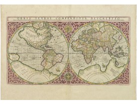
Location: 1587
Published: Amsterdam, 1587
Size: 282 x 524mm.
Color: Coloured.
Condition: Some minor paper thinness along centerfold. Paper slightly age-toned, as usual. Very good condition.
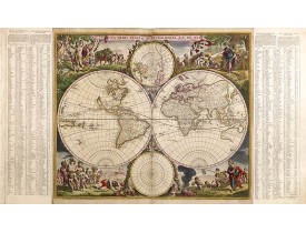
Gerard Mercator's great world map of 1569 was condensed into double hemispherical form by his son Rumold. It first appeared i..
9,500€
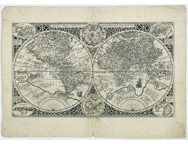
Location: 1605
Published: Leiden, 1605
Size: 295 x 495mm.
Color: Uncoloured.
Condition: Repair of a marginal upper and lower center fold split.In good condition. A strong and dark impression.
The engraver Jan van Doetecum has copied this world map from the double-hemispherical one engraved by his father Baptista for..
4,500€
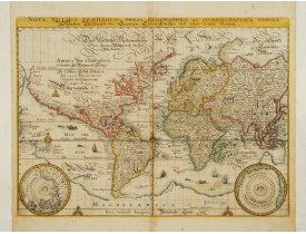
Location: 1646
Published: Frankfurt 1646
Size: 257 x 354mm.
Color: Coloured.
Condition: Paper slightly age-toned and slightly spotted. Generally in good condition.
A reduced version of Blaeu's world map lacking the decorative borders. The engraving is neatly executed, with Germanic touche..
2,000€
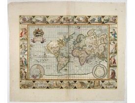
Location: 1680
Published: Oxford, 1680
Size: 395 x 530mm.
Color: Coloured.
Condition: Some remains of old fraying and minor browning to centerfold. Good condition overall. Wide margins.
A beautifully decorative world map taken from the 'English Atlas' by Moses Pitt and Steven Swart, based on an earlier engrave..
5,800€
Location: 1680
Published: Amsterdam, 1680
Size: 479 x 597mm.
Color: In attractive original colours.
Condition: Repair of centerfold. Paper slightly age-toned. centerfold underlaid, mainly for protective reason. Mapsize 479 x 570mm.
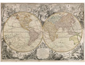
According to Shirley, De Wit's map is one of the most attractive of its time. The brilliant scenes in the corners combine ima..
4,000€
Location: 1690
Published: Paris, 1690
Size: 458 x 600mm.
Color: Coloured.
Condition: Some rimpling along centerfold and on the left part of the map. Repair of split and tear lower part centerfold 9cm and 3cm respectively into the engraved area. Localised paper thinness. <br />Good condition.
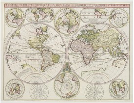
Coronelli, Vincenzo M. / De Tillemont. c.1690. Le Globe Terrestre Represente en Devx Plans Hemispheres, Et en Diverses Avtres..
3,000€
Location: 1700
Published: Amsterdam, ca. 1700
Size: 508 x 582mm.
Color: Original colors
Condition: Paper enforcement on verso. A sharp impression with full contemporary color on a bright sheet
Interesting and detailed world map, cartographically up-to-date and showing the routes of explorers, including Magellan, Damp..
4,400€
Location: 1704
Published: Venice 1704
Size: 380 x 537mm.
Color: In original o/l colours.
Condition: A fine copy. Contemporarily laid down on a large sheet of paper.
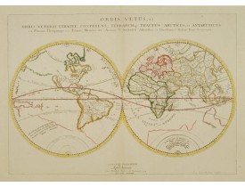
Nicolas Sanson's map of the ancient world, engraved by Jean Somer Pruthenus was issued separately in 1657 before being incorp..
1,000€
Location: 1705
Published: Nuremberg, 1705
Size: 483 x 572mm.
Color: In attactive original colours.
Condition: In good condition.
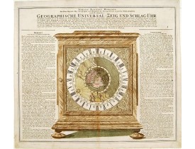
The world centred around the North Pole is depicted on the dial of a beautiful full size mantle-piece clock with California a..
1,500€
Location: 1705
Published: Paris, 1705
Size: 226 x 338mm.
Color: In original o/l colours.
Condition: Wide margins. Good and dark impression.
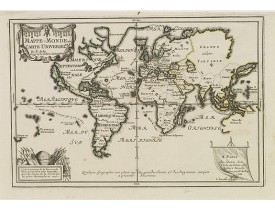
Uncommon world map in Mercator's projection, which first appeared in De Fer's Atlas Curieux.Showing California as an island. ..
800€
Location: 1730
Published: Germany 1730
Size: 480 x 545mm.
Color: Coloured.
Condition: Some browning in the margins, centerfold underlaid, else in a good condition.
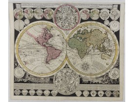
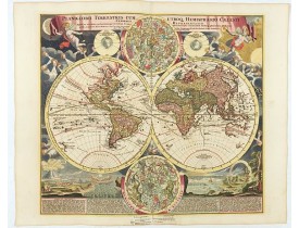
Vibrantly decorative world map surrounded by vivid engravings of natural phenomena such as waterspouts, a rainbow, earthquake..
2,900€
Location: 1740
Published: Nuremberg, 1740
Size: 485 x 577mm.
Color: In original o/l colours.
Condition: In very good condition. With later colour addition.
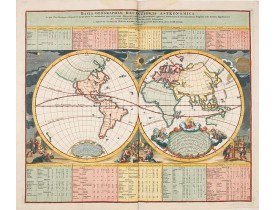
Baroque period world map in double hemispheres showing the shapes of land masses exactly calculated from astronomical observa..
800€
Location: 1755
Published: Italy, ca. 1755
Size: 175 x 195mm.
Color: Uncoloured.
Condition: Wood block print. Good condition. Size of paper 175 x 195mm.
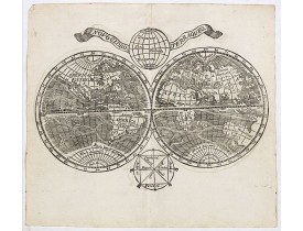
Double hemisphere world map with a broad banner carrying the title. In the ocean are currents shown and in top and bottom are..
750€
Location: 1759
Published: Kopenhagen, 1759
Size: 163 x 244mm.
Color: In original colours.
Condition: Paper slightly age-toned. In good condition.
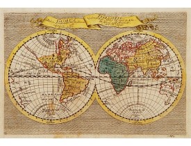
Rare double hemisphere world map printed in Copenhagen. Title and many names in Danish, from " Fra Holbergs Geographie". In ..
750€
Location: 1774
Published: Venice, 1774
Size: 290 x 420mm.
Color: In original colours.
Condition: Two very small worm holes (lower center part) filled in. Very good condition.
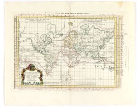
Attractive Italian map presented on Mercator's projection and featuring the voyages of Cook and Bougainville. Greenland is sh..
450€
Location: 1784
Published: Venice, 1776 - 1784
Size: 460 x 648mm.
Color: Original o/l colour.
Condition: Printed on heavy paper with large margins. Good impression. Very good condition.
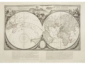
Double hemisphere world map, from an unusual perspective. Paris is located at the centre of the hemisphere, so that Europe, A..
3,000€
Location: 1786
Published: Paris, Robert de Vaugondy/Delamarche, 1786
Size: 985 x 1150mm.
Color: Original outline colors.
Condition: Large map dissected in 20 sheets and mounted on linen. Slightly water staining.
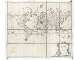
Large world map showing the sea tracks of Captain Cook in his three Pacific voyages published by C. F. Delamarche.Rare state ..
3,500€
Location: 1789
Published: Paris, 1789
Size: 520 x 760mm.
Color: Coloured.
Condition: Short margins with some usual age toning.
Dated 1761, this state is unknown. "Desnos' includes a fine combination of up to date cartographic information and the routes..
4,000€
Location: 1803
Published: Augsbourg, 1803
Size: 455 x 615mm.
Color: Coloured.
Condition: Very minor discolouration along extra horizontal fold.
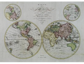
Uncommon and detailed world map in double hemisphere. In upper corners insets of North- and South Pole projections. Detailed ..
1,400€
Location: 1838
Published: Paris, 1838
Size: 295 x 410mm.
Color: In original o/l colours.
Condition: In very good condition.
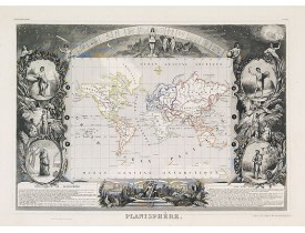
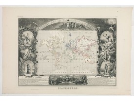
One of the last decorative maps of the area. In side panels representations of the four seasons. From his "Atlas Universel Il..
300€
Location: 1839
Published: London, 1839
Size: 480 x 595mm.
Color: In original o/l colours.
Condition: In good general condition, although there is some light foxing, minor staining, and some paper damage to top left margin.
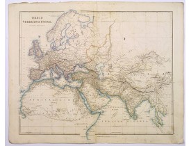
This is a detailed steel-engraved map of the ancient world, stretching from Europe eastwards to the Black Sea and beyond, sou..
250€
Location: 1840
Published: Venice, 1840
Size: 335 x 475mm.
Color: In attractive original colours.
Condition: Printed on heavy paper. Mint condition.
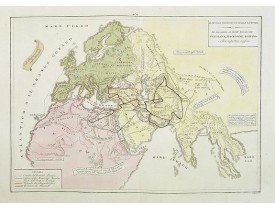
A rare double-page map of the so-called Empire of Alexander the Great (also known as the Macedonian Empire or the Hellenistic..
100€
Location: 1855
Published: New York, 1855
Size: 175 x 210mm.
Color: Original colours.
Condition: Cerographic map and on verso 3 historical wood-cut engravings. Paper slightly age-toned and marginal spotting.
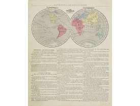
Map of the world presented in two western and eastern hemispheres. From Sidney E. Morse's: System of Geography for the use of..
20€
Location: 1860
Published: Paris, 1845-1860
Size: 295 x 410mm.
Color: In original o/l colours.
Condition: Paper very slightly age-toned. In good condition.
One of the last decorative maps of the area. In side panels representations of the four seasons. In original o.l. colour, fro..
150€
Location: 1870
Published: Lyon, ca. 1860/1870
Size: 700 x 660mm.
Color: Colored
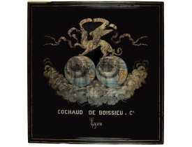
Condition: Pièce en soie tissée de fils d’or, d’argent, bleus et ocre sur fond noir. Très bon état. Dimensions à vue de la pièce : 630 x 590 mm, avec l’encadrement : 700 x 660 mm. Cadre ancien en bois mouluré noirci et doré.
Très belle pièce de soierie lyonnaise pour et par la maison Cochaud de Boissieu & Cie figurant une mappemonde surmontée d’un ..
1,800€

