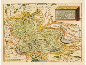
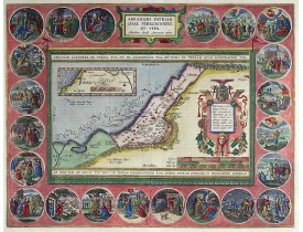
ORTELIUS, A.
 Click on image to zoom
Location: 1598
Published: Anvers, 1598
Size: 343 x 455mm.
Color: Coloured
Condition: Texte français.
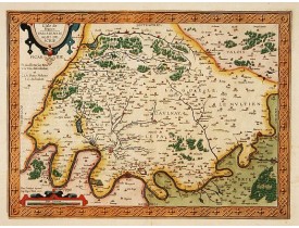
A fine map based upon a map by the Swiss cartographer Aegidicus Tschudi of 1538...
600€
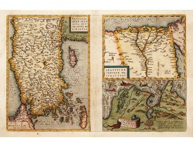
Location: 1598
Published: Anvers, ca. 1598
Size: 320 x 490mm.
Color: In attactive colours.
Condition: Texte français.
Map to the left east to the top. Detailed map Turkey, including Cyprus and Crete. Also map of the Nile delta and another map ..
600€
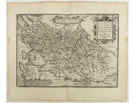
Location: 1598
Published: Antwerp, 1598
Size: 361 x 505 mm.
Color: Uncoloured.
Condition: French text on the verso. Wide margins and a strong and dark impression. In fine condition.
ORTELIUS, A. - Poictou. Pictonum Vicinarum que Regionum Fidiss Descriptio. - 40965 - Poitou - ORTELIUS, A. - Poictou. Picton..
350€
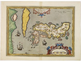
Location: 1601
Published: Antwerp, 1601
Size: 350 x 480mm.
Color: In attractive strong original colours.
Condition: Mint condition. Some very light marginal discolouration along center fold. Extra ordinary fine colouring.
Perfect condition. The map was based upon the manuscript draft supplied to Ortelius in about 1592 by the famous official Port..
4,500€
Location: 1608
Published: Antwerp, 1608
Size: 365 x 470mm.
Color: Coloured
Condition: 4to. 2 parts in one vol. General title with woodcut printers device, two section titles with diagrams of globes, 32 woodcut diagrams in the text. Very light marginal browning. Contemporary vellum, lightly stained.
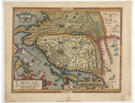
The first map of China ever to appear in a Western atlas, west to the top. When this map appeared, it was by far the most acc..
5,500€
Location: 1608
Published: Anvers, 1598-1608
Size: 340 x 460mm.
Color: In attactive colours.
Condition: Italian text.
In 1595 Adam La Planche wrote Ortelius that he had obtained from Pierre Pithou a manuscript map of Ile de France, attributed ..
450€
Location: 1612
Published: Anvers, 1570-1612
Size: 360 x 475mm.
Color: In attractive original colours.
Condition: Paper slightly age toned. From a rare Spanish text edition. Six maps on one plate.
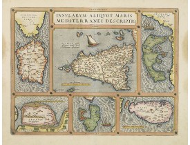
From a rare Spanish text edition.Six very fine and early maps on one sheet. Including the islands of Sardinia, Sicily, Corfu,..
1,500€
Location: 1612
Published: Anvers, 1592-1612
Size: 377 x 492mm.
Color: In attractive original colours.
Condition: Very good codition.
From a rare Spanish text edition. Very fine map of Flanders, after Gerard Mercator's map of 1540. Copper engraving with Spani..
1,500€
Location: 1612
Published: Antwerp, after 1612
Size: 358 x 505mm.
Color: In attactive original colours
Condition: Good and dark impression. Blank on the verso.
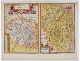
Separately issued map of Burgundy area. Two maps on one plate of Burgundy and Franche-Comté regions. Without text on the ver..
400€
Location: 1624
Published: Antwerp, 1624
Size: 357 x 466mm.
Color: Original colors
Condition: Very good. Strong impression. Wide margins. Heavy age-toned paper. Some minimal foxing not affecting the image. Verso: Latin.
The Holy Land map itself occupies the center and is surrounded by vignettes of the life of the Patriarch Abraham. Extremely d..
2,800€

